Geography of Lanzarote
The easternmost of the Canary Islands, Lanzarote is characterised by its dramatic volcanic landscapes and beautiful beaches. Discover its geography!
Created some 15 million years ago by fiery volcanic eruptions, Lanzarote forms part of the Canary Islands together with its neighbours, the islands of Tenerife, Gran Canaria, El Hierro, La Gomera, Fuerteventura and La Palma.
Lanzarote is the closest of the Canaries to the African continent and is located just 140 kilometres from the coast of Morocco.
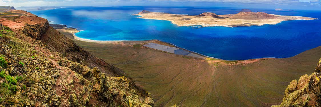
Like the rest of the islands in the archipelago, Lanzarote is characterised by its diverse landscapes from paradise beaches with seemingly endless stretches of golden sand to the sparse El Jable desert to the rugged volcanoes of Timanfaya National Park. The entire island is a UNESCO Biosphere Reserve.
The island has around 200 kilometres of coastline, ranging from surf havens like Famara in the north to sparkling turquoise seas and soft sand in the south.
Volcanic paradise
Volcanic activity gave birth to Lanzarote and it's only natural that it should be one of its main attractions too: from petrified lava rivers to caves and volcanoes themselves.
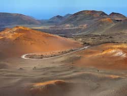
One of the main natural wonders of Lanzarote is the Timanfaya National Park, a protected nature reserve spanning more than 50 square kilometres in the southwest part of the island. Exploring the park, visitors can discover the fascinating volcanic landscape as well as some of Lanzarote's native wildlife, like the Harí lizard and the Barbary partridge.
The island is also home to the Tunnel of Atlantis, the largest underwater volcanic tunnel in the world and part of the Cueva de los Verdes lava tube. One of the most striking and captivating details of Lanzarote's geography is its lack of plants due to its extremely dry climate.

